Beginners guide on Navigation
In the digital age, there are various options for navigation on your ride. Opinions differ when it comes to choosing the best device for riding, Is the smartphone enough? Or does it require a specific GPS device? As is so often the case, there is no definitive answer to this question. It all depends on personal needs, and both can work well.
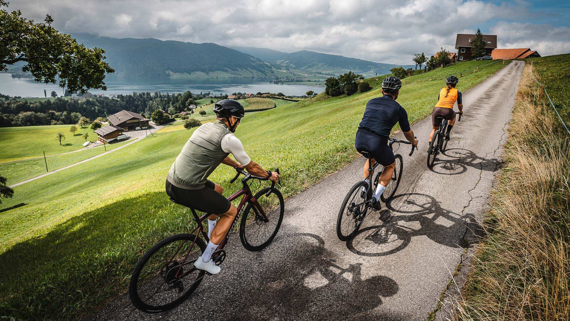
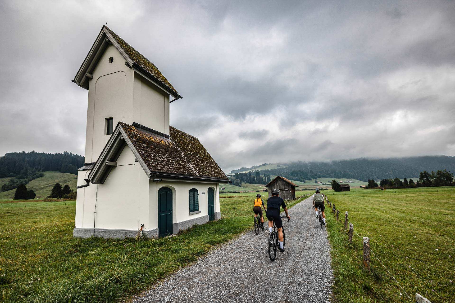
Finding the best gravel roads, trails and farm tracks is what all gravel riders want. But unless you have unlimited time to go and try out every possible path around your area, planning gravel routes can be more complex than planning a road ride. Staying on the route also can be challenging when the route is not known to you.
“
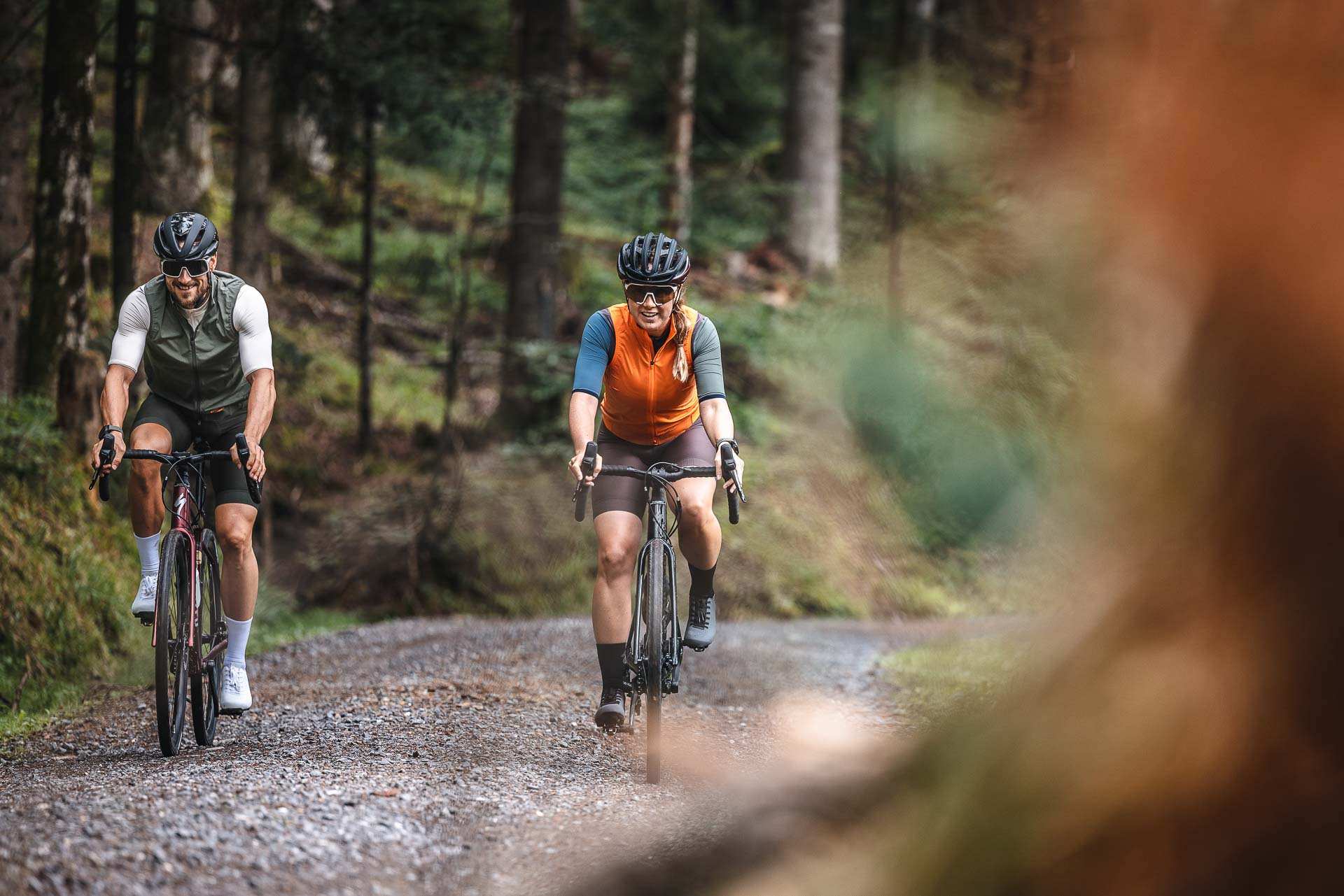
Part of the difficulty in planning a gravel route lies in the definition of "gravel". It generally means riding a surface that is not tarmac. Whether it's mud, actual gravel, or hiking paths, it is rather irrelevant. They can all be fun and add spice to your ride.
Route planning for gravel rides is a skill that is well worth mastering. Despite the concept of gravel being so vast, what you want to avoid is endless sections of hike-a-bike or long stretches of tarmac connected by short off-road stuff. It needs to be a good ratio.
When going off-road, the usual road signs don't exist to help you if you get lost, which means that having a phone, or preferably a GPS device, is essential.
And lastly, this is not the equipment but make sure to let someone know of your ride plan. Some GPS devices allow you to share your live location with a friend or family member, which is great if you don't want to worry about updating them on your progress.
The Options
To follow the routes, you would need a GPS device. For occasional tours, the smartphone can be sufficient for the time being. But a more robust GPS device with long battery life is recommended for frequent use and extended tours. Specific GPS devices were developed explicitly for navigating on bicycles. It is, therefore, not surprising that these devices are superior to smartphones in some respects: they are usually more robust and can generally withstand a fall and weather such as rain and extreme temperature. In addition, the devices are optimized for energy consumption.
Mobile APPs
It's a good way to try out GPS navigation without investing in a bike computer. They can also offer Turn-by-turn navigation. You can usually plan your route using the web version of the app and then view it on your phone without having to transfer a file to a separate device. If you need to modify your route while riding, you can get an idea of the distance.
Komoot
Komoot is a popular route-planning tool that comes with a dedicated App. Komoot will suggest routes for you based on your preferred criteria and routes that other people nearby have plotted. Again, you can then open it straight in the app. With Komoot you can also use voice guidance so you can follow a route without looking at the screen.
Strava
Strava has improved its off-road and gravel routing recently. And it is a great tool for planning and following routes. As with existing Strava Routes features, Trail Routes will offer activity-specific and adjustable ride suggestions based on data gathered from other Strava users.
You can also tailor routes based on your preferences for distance and elevation, with Strava then offering insights such as "how long it will take you, how crowded it might be, and what's the best route for you".
On top of this, it will offer insights such as "route difficulty, community completion times, historical activity trends by month and time of day, and data visualizations of gradient and difficulty.
GPS computers
It offers accurate Turn-by-turn navigation and is More rugged than a smartphone with longer battery life, it will last for long rides. At the same time, it can record your ride stats as well as navigate you on the route. Buttons are easier to use than a touch screen if you're wearing gloves or it's raining.
Types of GPS computers
There is a lot of variation in function and price, so do your research. Consider the size and resolution of the screen – When riding gravel, you want the ability to see more of a map.
Most bike computers will also record stats from your ride, such as distance, speed and ascent. If you really love your numbers, some also link with external sensors such as a heart rate monitor or cadence sensor.
The best GPS bike computers for navigation.
Garmin is leading the market by far, offering various devices at multiple price points. Garmin Edge 830 or Garmin Edge 1030 Plus are one of the most popular models. And Garmin Edge 1040 is Arguably the best cycling computer money can buy.
Hammerhead Karoo works a bit differently from other cycling computers, with the ease of use and responsiveness of a smartphone that other cycling computers can't match.
Bryton Rider Is a cycling computer packed with features for a reasonable price.
GPS Watches
GPS-enabled sports watches are also popular among people who do multisports. These allow you to track activity across different sports, and many allow connection to peripheral devices and include navigation too. Some come with a bar mount so that you can use the watch attached to the bike or on your wrist.
Both Garmin and Polar offer some great smartwatches that can be used to navigate on and off-road.
Learn about How to upload a route to your GPS Device
Garmin
- Download the GPX file to your computer.
- Plug your Garmin device into your computer.
- Navigate to the Garmin drive on your computer and find the folder labelled "Garmin". Open the folder; there should be a subfolder labelled "NewFiles" or "GPX".
- Drop the GPX file into this folder and then disconnect your Garmin as you would any other USB device. (The method used to get the downloaded GPX file on your Garmin device will vary based on your computer setup, but in general, you can think of your Garmin as you would any other USB drive.)
- Now when you turn on your Garmin device, you should find the route under the "Courses" menu, and you're ready to go.
For Garmin 500 devices, the "Courses" feature requires a TCX file to be downloaded onto the device. You can also export a TCX file from Strava.
You can also sync the route straight from Strava to your device. https://support.strava.com
Polar
You can import a route into the Flow web service and sync it to your Polar Grit X, Polar Flow web service, V650, V800, Vantage V, or Vantage V2.
- Export a route from a third-party web service. The file format should be GPX or TCX.
- Sign in to Polar Flow.
- Go to Favorites by clicking the icon in the top right corner.
- Click Import route.
- Drag and drop the file you want to import or browse from your computer.
- Click Import to start the upload.
- If the imported file contains several routes, choose which route you want to import.
- Name the route, and pick a sport if you want. You don't have to specify the sport for the route yet. You can choose it when you start the exercise on your training device.
- Click Import. The route is then added to your Favorites.
- Sync the route to your training device with Polar FlowSync software.
Apple Watch
The simplest and most seamless way to follow routes with apple watch is by using Komoot.
You can follow a route and receive navigation instructions on the watch. Thanks to real-time directional information and easy-to-read notifications, you'll never miss another turn again.
- Download the free Komoot app on your Apple Watch and on your mobile and sign in to get started.
- Make sure that the Apple Watch and your mobile are connected.
- Open the Komoot app on your Apple Watch.
- Open the Komoot link from the Route in ZugRide on your mobile.
- Tap the Start Navigation button on the mobile app.
- Navigation instructions will then appear on the Apple Watch screen.
Navigation via the Komoot app on the Apple Watch is only possible as a registered user and when your phone is connected via Bluetooth to your Apple Watch at all times.
For more information, visit support.komoot.com
Hammerhead
Here are the steps to Import a GPX File into the Dashboard
- Select "Routes" on the Sidebar Menu.
- Click on "New Route" at the top right-hand corner and then click on "Import".
- Click inside the box to add a file.
- Choose the GPX that you want to import and click on "Open".
- You can also drag and drop a GPX file and click on "File Upload".
- You will see the file being uploaded/processed.
- This route will now be available on your Dashboard.
You can also import routes directly from Strava.
For more information, visit: support.hammerhead.io
Learn more about navigating on the bike at Veloplus.
Veloplus in Steinhausen offer competent advice as well as an extensive range and a large number of GPS devices that can be tested directly on-site Also, you can request individual GPS consultations at a reduced hourly rate. Or sign up to one of their GPS Navigation course.
In the GPS navigation course, you will learn the basic operation of a Garmin GPS device in practice. In addition to the basic functions, you will then know how to transfer tours to your device. After the course, you will also be able to use the routing functions of the GPS device. You will also learn how to plan tours using Garmin Connect and Internet portals and how to record your tour. In order to be able to practice efficiently, you will receive a personal laptop for the duration of the course and - if you do not [yet] own a GPS device or have another one - a Garmin GPS device. Costs: Fr. 190.-* [incl. snack] *50% discount if you have bought or will buy a Garmin GPS device from Veloplus for CHF 300 or more.
Now you are ready for your first adventure.
Once you have a route, gear, and a bike, it's time to see what all the fuss is about. If you don't feel like driving alone, grab some friends. The only thing better than riding with your friends is sleeping with them.